
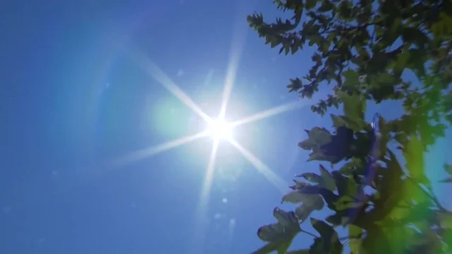
Public health and weather officials across the Upper Midwest are urging extreme caution as a massive high pressure system anchors itself over the region, ensuring that dangerous heat will continue through midweek in Minnesota. A Next Weather Alert and extensive extreme heat warning frameworks remain actively deployed by the National Weather Service, covering major metropolitan zones including the Twin Cities, central corridors, and the northern borderlands. Meteorological reports indicate that daytime temperatures will routinely soar into the lower and middle 90s, with several localized areas approaching triple digits under relentless sunshine. This prolonged atmospheric event is being driven by a dense, upper-level ridge that is effectively deflecting cooling storm tracks far north into Canada, resulting in stagnant air conditions and severely limited precipitation chances for the immediate future.
The primary complicating factor during this scorching stretch is the influx of tropical moisture, which has driven regional dew points into the upper 60s and low 70s. When these elevated humidity levels pair with daytime ambient temperatures, heat index values are projected to climb between 95 and 110 degrees, making outdoor conditions profoundly oppressive. Because dew points measure the literal volume of moisture in the atmosphere, higher readings mean human sweat cannot evaporate efficiently, hindering the body’s innate capacity to cool itself down. Compounding the daytime stress, overnight low temperatures are failing to drop below the upper 60s and lower 70s. This lack of overnight thermal relief prevents public infrastructure and residential buildings from cooling down, causing environmental heat stress to accumulate progressively from one day to the next.
While central and southern municipalities grapple with high humidity, northern portions of the state are simultaneously confronting critical fire weather conditions exacerbated by the intense heat dome. A series of active red flag warnings have been established across the Arrowhead and northeastern counties, where the combination of low relative humidity, hot surface temperatures, and gusty southwest winds creates an environment ripe for rapid wildfire transmission. In response to the elevated threat levels, state authorities have implemented strict burning restrictions across Cook, Lake, and northern St. Louis counties to prevent accidental ignitions. Emergency response teams are keeping a close watch on active fire perimeters near the international border, where parched surface soils are drying out substantially under the mid-July sun.
As the weather advisories remain in effect through late Thursday evening, healthcare providers are highlighting the critical importance of distinguishing between heat exhaustion and heat stroke. Municipalities have opened public cooling centers, and residents are strongly encouraged to minimize strenuous outdoor activities during peak afternoon hours, maintain aggressive hydration schedules, and check on vulnerable neighbors. Looking ahead, long-range forecast models indicate that relief is on the horizon; the dominant ridge of high pressure is expected to gradually break down by the weekend, allowing a weaker weather pattern to return temperatures closer to seasonal averages in the 80s alongside a modest chance for scattered rainfall.